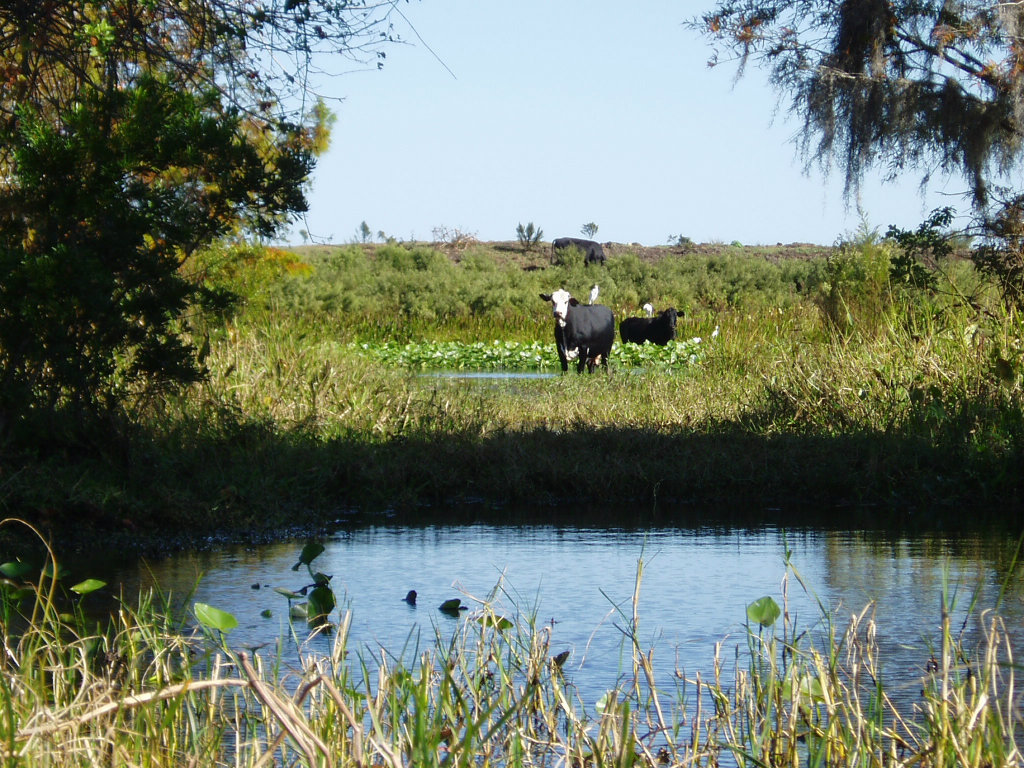
One of the country’s most contentious water wars is raging on into its third century, and it shows no signs of abating. In 1802, Congress decreed the 35th parallel to be the boundary between Tennessee and Georgia. As fate would have it, the surveyors who were tasked with mapping this boundary made a minor miscalculation, one fraught with enormous significance. As originally surveyed, the Georgia–Tennessee line runs approximately a mile south of the Tennessee River through Marion County, Georgia.
As decreed by Congress, however, the state line is the river itself. Because of this error, the Peach State has no access (or right) to the abundant waters of the mighty Tennessee. Given the severe drought conditions that have plagued Georgia over the last few years, it should come as no surprise that the Georgia Senate recently passed a resolution by a 48-2 vote calling for a correction of this survey. At the heart of the dispute is a tiny tract of approximately 1,000 acres in Tennessee known as Occupied Georgia. House Resolution 4 proposes a settlement of the boundary dispute. If no agreement is reached, the resolution also directs Georgia’s Attorney General to commence litigation and sue for the entire area south of the 35th parallel, which encompasses more than 68 square miles, several townships, and substantial Tennessee River frontage.
Photo Credit: Taylor Berman on Gawker

News Desk
Historic Seminole Land Conserved
Coldwell Banker Commercial Saunders Real Estate brokered the …
Sponsored
Elk Creek Ranch Acquires Seven Lakes
For those who are passionate about outdoor pursuits, the next great adventure can’t come soon enough.