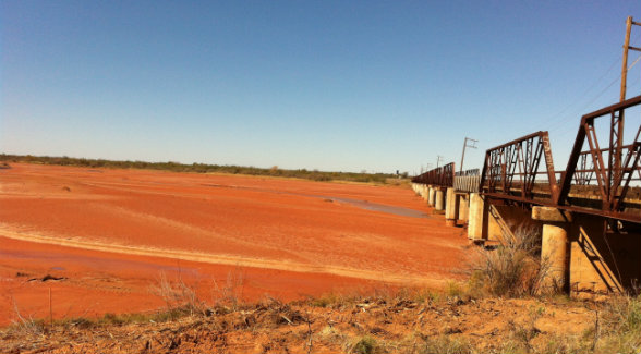
A long-standing dispute over the Texas—Oklahoma state line that jeopardized private landholdings along a 116-mile stretch of the Red River has been put on hold. In a letter filed in the Northern District Court in Wichita Falls, the agency admitted it used “incorrect methodology” to determine the gradient boundary on Texas properties. (A gradient boundary is determined by the position of flowing water along the bank of a river. The concept was established in a 1924 Supreme Court case involving the Oklahoma—Texas state line.) According to the acting chief cadastral surveyor from the Bureau of Land Management’s New Mexico, Texas, and Oklahoma region, BLM surveyors might not have properly applied the doctrines of erosion, accretion, and avulsion while surveying the properties.
Sponsored
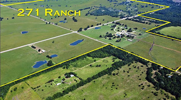
Elk Creek Ranch Acquires Seven Lakes
For those who are passionate about outdoor pursuits, the next great adventure can’t come soon enough.