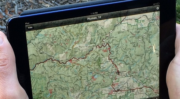
The U.S. Forest Service is offering access to a trove of visitor maps for Android and iOS users on their mobile devices. The PDF Maps Mobile App, which was developed by Avenza Systems, is available as a free download from the Android Play Store and from iTunes. The app provides access to Forest Service maps, including motor-vehicle-use maps, which are free to users. Pages from national forest atlases are 99 cents apiece, and forest visitor maps are $4.99. All maps are geo-referenced and feature the user’s location as a blue dot. The PDF Maps Mobile App works with Android 4 or newer operating systems and on iPhones (3GS or newer) and iPads with WiFi+3G. The USFS is also working on Phase 1 of a website redesign in early 2014.
Learn more here.
Photo Credit: U.S. Forest Service

Landmarks
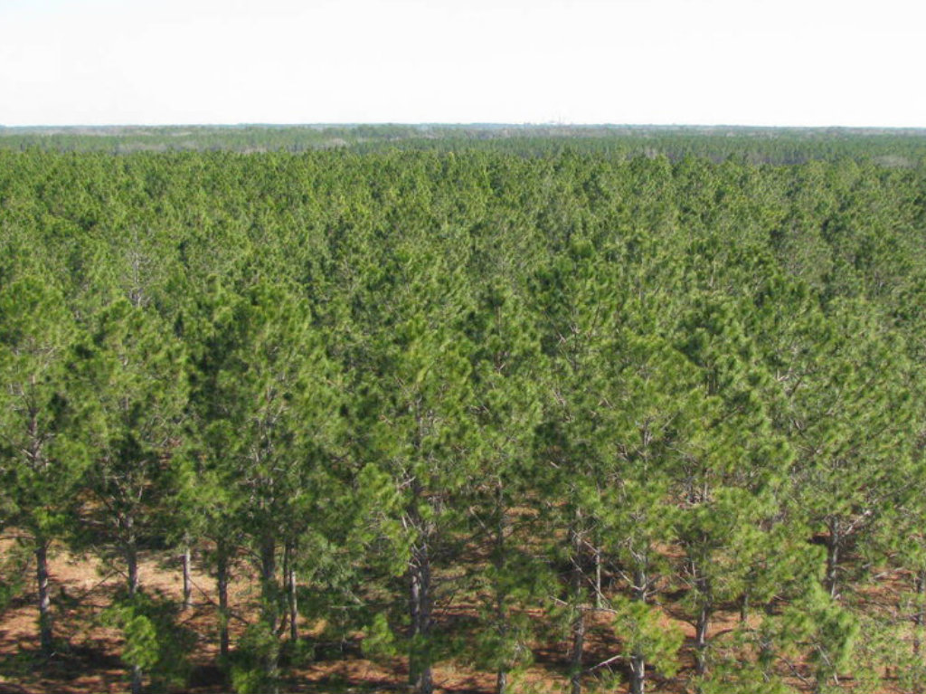
For Sale: 560,000 Acres of Florida Timberland
Foley Timber and Land Company announced on April …
Sponsored
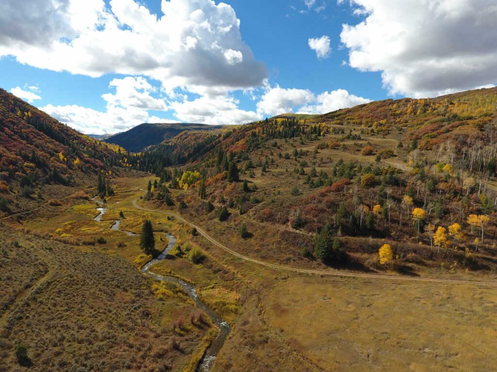
Elk Creek Ranch Acquires Seven Lakes
For those who are passionate about outdoor pursuits, the next great adventure can’t come soon enough.